Design precision farming yield forecasters, satellite crop health trackers, and autonomous sensor networks.
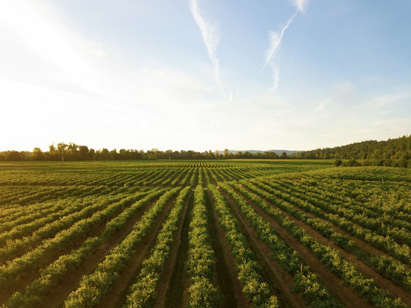
Precision agriculture uses data to optimize food production. By combining satellite imagery, IoT sensors, and autonomous analytics, farmers can manage resource distribution, predict crop yields, and secure supply paths.
Autonomous drone flight planning agents that schedule surveys, analyze raw images, and target fertilizer distribution.
Yield prediction models estimating harvest volumes based on weather cycles and soil sensor data.
GIS mapping dashboards showing soil moisture, temperature, and crop health metrics.
Water usage cost analytics worksheets, supply planning models, and distribution cost calculators.
Secure encryption layers for rural IoT sensor nodes and access controls for autonomous farming vehicles.
Cloud-based processing pipelines for remote sensing satellite imagery with low-cost storage tiers for historic crop telemetry data.
Practice with 12 structured tasks categorized by difficulty.
Develop a basic dashboard displaying soil moisture logs from field sensors and highlighting dry zones.
Design a SQL database schema capturing crop types, planting dates, and harvest weights.
Write a script that monitors network status and alerts users when field sensors stop sending data.
Build a simple rule-based chat module that questions users about crop damage to identify potential pests.
Configure an S3 lifecycle policy transitioning historic weather telemetry logs to Glacier Deep Archive.
Explore 10 dedicated research-backed capstone systems for every domain (AI, Data, Security, Cloud) modeled after production corporate environments and SOTA literature.
Deploy a lightweight MobileNetV3 computer vision model onto edge mobile devices to detect 38 plant leaf diseases offline in real time.
Build a Deep Reinforcement Learning trajectory planner for agricultural spraying drones to maximize field coverage while minimizing battery drain.
Train a Reinforcement Learning agent (SAC) that controls commercial greenhouse HVAC, LED lighting, and CO2 injection to maximize crop growth while minimizing power.
Deploy an object detection model (YOLOv8) on field tractors to distinguish crop plants from invasive weeds in real time, triggering targeted micro-spray nozzles.
Build a computer vision color and texture classifier evaluating fruit ripeness (apples, tomatoes, grapes) to guide automated robotic harvesting arms.
Develop a multi-lingual voice AI agent that answers farmer questions regarding fertilizer mixing, pest control, and weather alerts in local languages.
Deploy a computer vision model using CNN facial recognition to identify individual cattle, pigs, and sheep from barn camera feeds.
Build an audio processing neural network analyzing beehive acoustic frequency spectra to predict queenlessness and swarm events before colony collapse.
Build a high-speed optical sorting computer vision system evaluating rice, wheat, and corn grains on conveyor belts to reject discolored or insect-damaged kernels.
Develop a hyper-spectral imaging AI model evaluating leaf color spectra to diagnose Nitrogen, Phosphorus, and Potassium (NPK) soil deficiencies.
Build a deep learning pipeline processing multi-spectral Sentinel-2 satellite imagery to compute NDVI vegetation indices and predict crop yields at 10m resolution.
Develop a Measurement, Reporting, and Verification (MRV) data pipeline combining soil sensor samples and synthetic aperture radar (SAR) to quantify soil carbon credits.
Build an IoT collar telemetry processing engine analyzing cattle rumination, activity levels, and body temperature to flag fever or illness 48 hours early.
Develop a multimodal time-series forecasting model integrating global weather patterns, freight rates, and macro news to predict grain futures prices.
Architect a spatiotemporal analytics pipeline evaluating Landsat thermal infrared imagery and MODIS data to compute Evapotranspiration (ET) drought severity indices.
Build a telematics data warehouse ingesting tractor and combine harvester CAN-bus telemetry to analyze fuel consumption, field coverage speed, and idle time.
Build an ensemble machine learning model processing local weather station IoT sensors to predict localized sub-zero frost risks 12 hours ahead for fruit orchards.
Develop a quantitative agricultural model fitting Wood's Lactation Curves to daily automated milking parlour logs to predict milk yield and spot mastitis.
Build a compliance data warehouse mapping soil laboratory chemical test results and pesticide application logs for organic farm certification audits.
Architect an IoT analytics engine monitoring dissolved oxygen (DO), ammonia, and temperature in fish farming tanks to prevent fish suffocation events.
Develop an MAVLink encryption wrapper using ChaCha20-Poly1305 to secure radio telemetry command links between ground stations and agricultural drones.
Deploy an industrial security monitoring agent for regional agricultural irrigation SCADA networks to block unauthorized valve opening commands.
Build a sensor fusion navigation validator comparing GPS signals against onboard wheel odometry and IMUs to detect GPS spoofing attacks on autonomous tractors.
Deploy a cryptographic IoT tampering detector monitoring grain silo temperature and inventory sensors for physical and digital tampering.
Build an immutable hyperledger blockchain system registering cattle breeding genetic markers to protect proprietary livestock breeding lines.
Build a privacy-preserving API gateway for farm management software that anonymizes farm field boundary shapes before sharing data with agtech vendors.
Build an industrial firewall module monitoring BACnet / Modbus greenhouse environment controllers to prevent malicious heating overrides.
Deploy an AES-256 encrypted RTSP video streaming pipeline for agricultural survey drones to prevent unauthorized interception of high-res farm imagery.
Develop a hardware-software safety verification agent monitoring automated chemical fertilizer blenders to block explosive chemical ratio inputs.
Develop a lightweight firmware scanner for cellular agricultural IoT gateway hubs to detect Mirai botnet malware infections.
Architect an AWS IoT Core ingestion pipeline storing soil moisture, weather, and crop health telemetry in an AWS S3 data lake with Athena query support.
Deploy an Azure Data Manager for Agriculture (FarmBeats) pipeline integrating Sentinel-2 satellite imagery and ground weather sensors.
Build an event-driven serverless processing pipeline on AWS that converts high-resolution orthomosaic drone TIFF images into COGs (Cloud Optimized GeoTIFFs).
Deploy an AWS IoT Greengrass v2 edge architecture on solar-powered farm gateways to run offline Machine Learning inference on crop leaf photos.
Architect a farm-to-fork food traceability ledger using AWS Managed Blockchain (Hyperledger Fabric) tracking organic produce from harvest to grocery shelf.
Build a serverless smart irrigation scheduler using AWS Step Functions, Open-Meteo Weather API, and IoT Core to adjust watering schedules based on rain forecasts.
Build a cost-optimized machine learning model training pipeline on AWS using SageMaker Spot Instances to train satellite crop vision models.
Architect a cloud data warehouse on Snowflake processing millions of soil moisture, pH, and ambient temperature sensor readings across 500 farms.
Build a real-time telematics streaming architecture on AWS using Kinesis Data Streams processing tractor speed, engine load, and GPS location.
Architect a multi-tenant SaaS backend for farm management software using AWS ECS Fargate and DynamoDB Single-Table Design.
Core Skills
Core Skills
Core Skills